Want to learn more about your land?
Our business offers ultra detailed drone mapping.
Call me on 0447528877
Or Email me on Radleyschofield@gmail.com
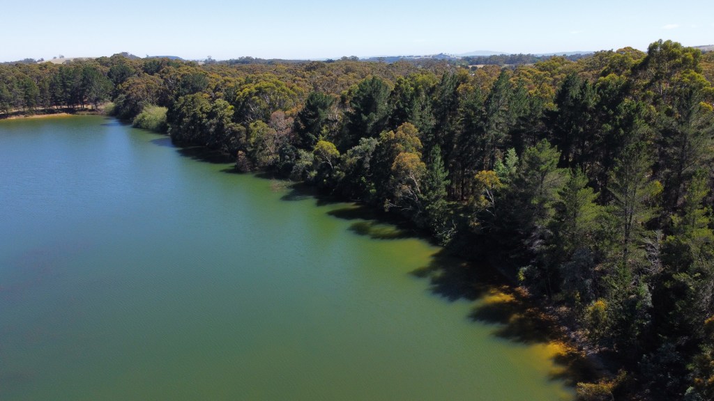
Have you wondered what your land looks like from above?
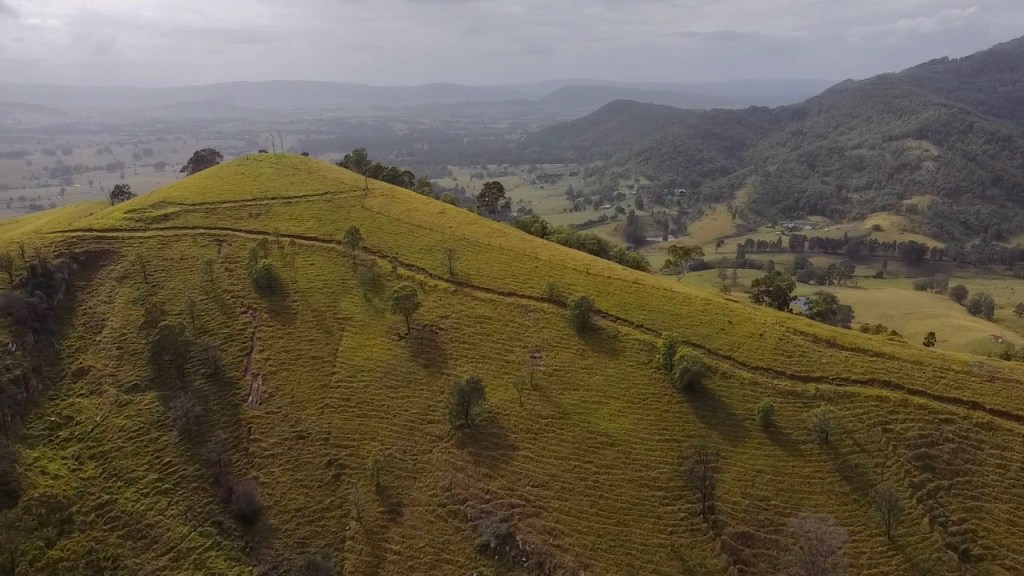
Topographic maps allow you to keep updated on areas that may be hard to access. The ultra detailed maps allow you to harness every inch of your land.
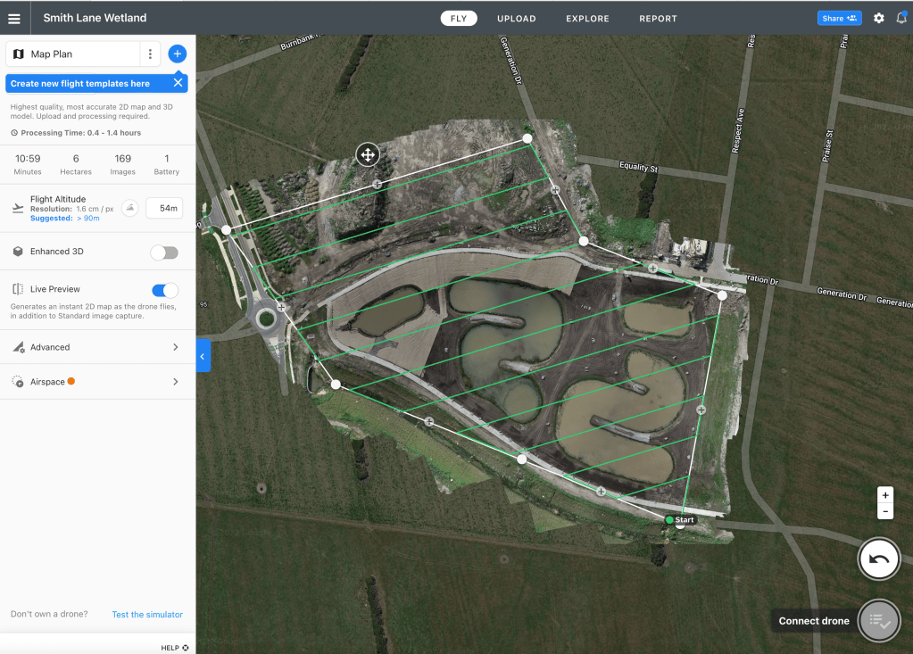
Aeronomics Packages on offer
Book a package or register your interest for your land to be mapped and we will call back shortly.
360 ° Site videos available

repetitive flight paths allow the exact same video over multiple years to be achieved.
Elevation
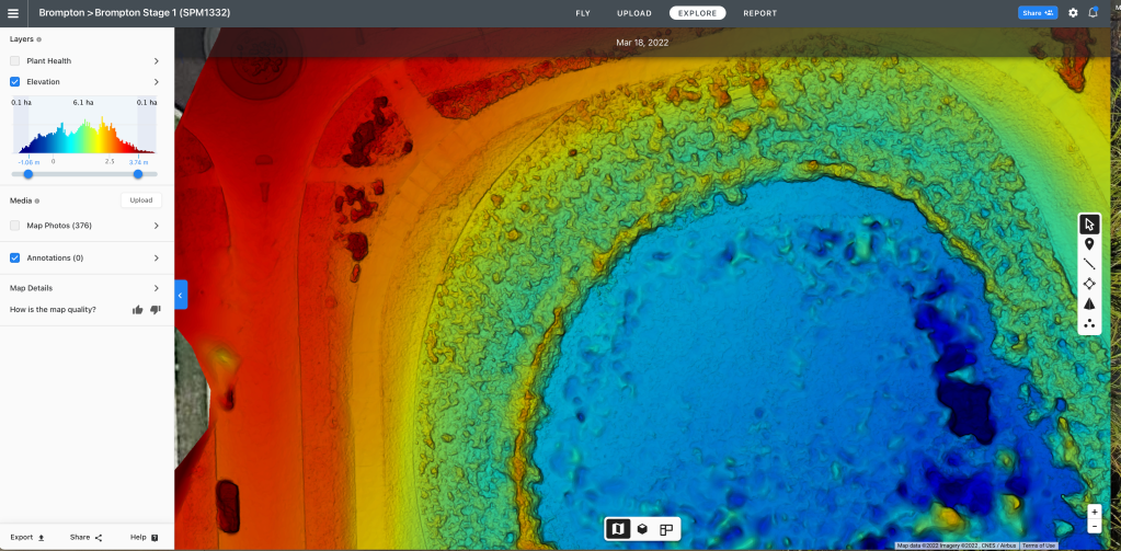
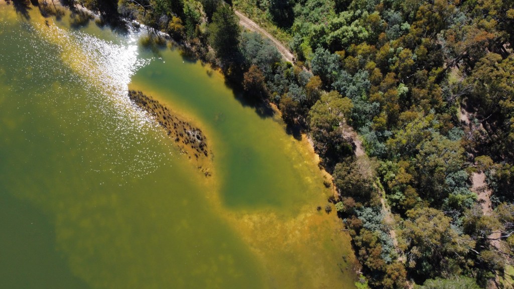
Increasingly useful for creek lines or to assess farmland erosion.
3D site Imagery
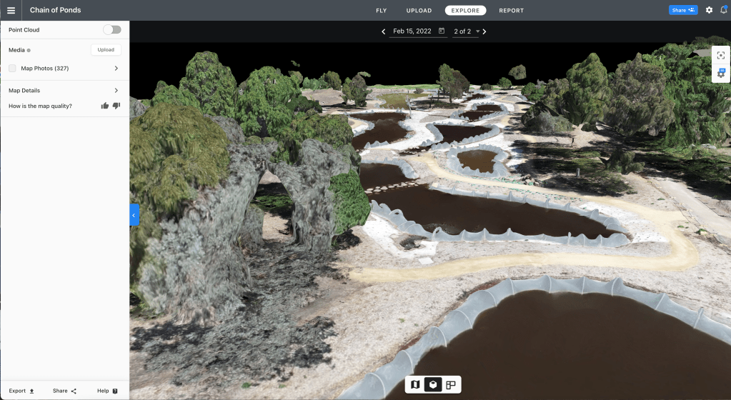
3D image can incorporate all observations into one photograph
We also offer valuable recommendations on revegetation plans that can be put forward to carbon offsets.
Our team will develop a long-term action plan to decrease your land’s carbon footprint.
We offer an affordable range of packages that will help you decide what you need.
Images range from
- $289 for 8 hectares
- $389 16 hectares
- $489 20 hectares

We specialise in Creek Lines, Farmlands and Conservation Remnants.

Native/Exotic Flora Observations Available
Contact our team if you would like more information on Ecological Reports overlaying one large Orthomasaic image of your land.


